SamplePoint
SampleFreq
ImageMeasurement
About
About the software and
development team
ImageMeasurement was developed
in 2004 for the initial purpose of measuring the width of riparian corridors
from Very Large Scale Aerial (VLSA) imagery captured in northern Nevada as part of a Lahonton Cutthroat Trout
habitat improvement effort. While GIS packages on the market facilitated
measurements such as these from aerial imagery, such imagery had to first
be orthorectified. Since the Nevada project produced thousands of discontinuous
image scenes only a few meters wide, orthorectification for all frames
was not feasible. ImageMeasurement facilitated linear and area measurements
from images where the resolution was the only known parameter, and continues
to be used in this way for measuring a variety of resources, including
streams, rivers, bare ground patches, weed patches and plant canopy area.
The first version of SamplePoint
was put into use in 2004, automating the Digital Grid Overlay process of
manual vegetation cover analysis used by Terry Booth's research staff since
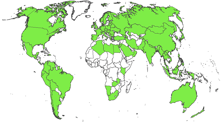
2002. SamplePoint has been the most widely-used of the software programs,
downloaded by thousands of users from 80 countries (map below) since
2006. Most users measure vegetative cover with SamplePoint, but the software
is versatile enough to measure % cover of any visible object from nadir
imagery.
SampleFreq was developed in 2011
as a sister program to SamplePoint. It is used to measure plant frequency
rather than cover, and has been validated by standardized multi-user
testing.
DEVELOPMENT TEAM
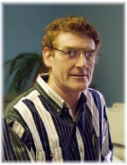
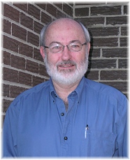
D.T. Booth
Cheyenne, WY
|
Bob Berryman
Denver, CO
|
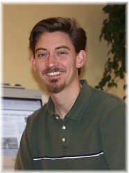
Sam Cox
Cheyenne, WY
|
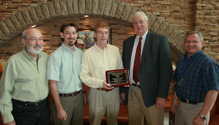 Oct 5, 2011 - SamplePoint
development team Bob Berryman, Sam Cox and Terry Booth accept the Federal
Laboratory Consortium Mid-Continent Notable Technology Development Award
from USDA Agricultural Research Service Northern Plains Area Director Will
Blackburn and Technology Transfer Coordinator Bryan Kaphammer in Fort Collins,
CO.
Oct 5, 2011 - SamplePoint
development team Bob Berryman, Sam Cox and Terry Booth accept the Federal
Laboratory Consortium Mid-Continent Notable Technology Development Award
from USDA Agricultural Research Service Northern Plains Area Director Will
Blackburn and Technology Transfer Coordinator Bryan Kaphammer in Fort Collins,
CO. |